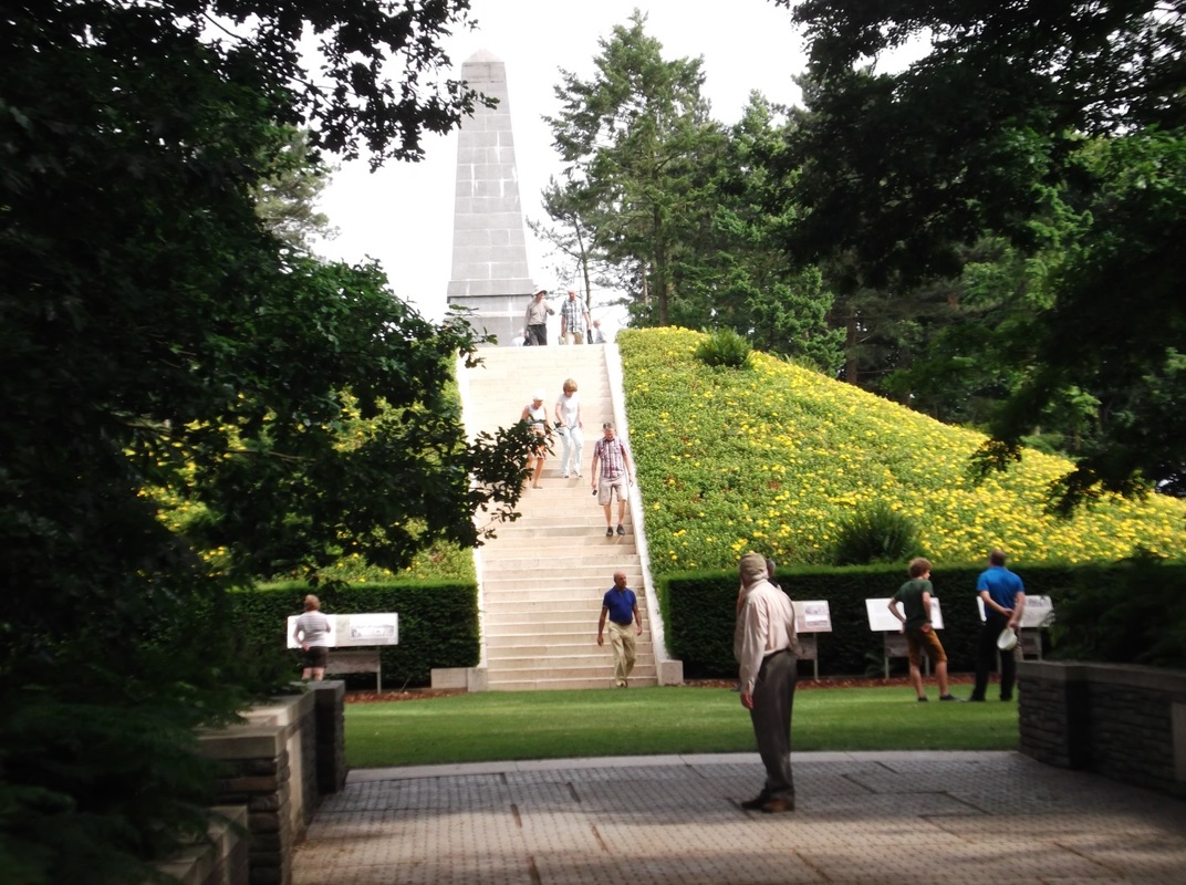
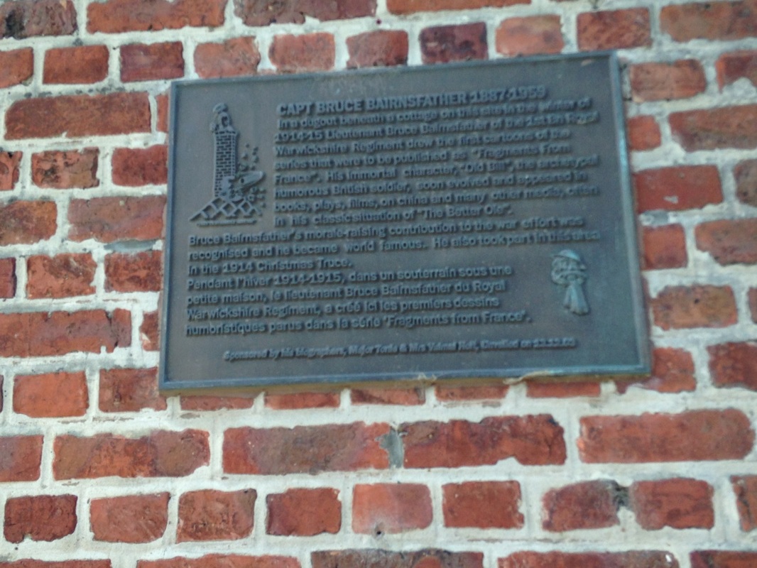
This blog post is part three of a series describing a recent visit my son Alex and I made to Belgium and France. In my first two posts I described our several days in Brussels and in Ypres, also known as Ieper.
Leaving Ieper on the road to Armentières, we soon noticed more French and less Flemish in the roadside signage until the Flemish language disappeared altogether and we were in France. We intended to drive more slowly through Armentières and get a passing look at the place, and thus wandered off the high road. The somewhat quiet neighborhood in which we soon found ourselves had plainly been designed by one of the less flamboyant surrealists. Though pleasant enough in its own way, one could not help wondering where everybody had gone. Had we found the Twilight Zone? Could this be Armentières?
Leaving Ieper on the road to Armentières, we soon noticed more French and less Flemish in the roadside signage until the Flemish language disappeared altogether and we were in France. We intended to drive more slowly through Armentières and get a passing look at the place, and thus wandered off the high road. The somewhat quiet neighborhood in which we soon found ourselves had plainly been designed by one of the less flamboyant surrealists. Though pleasant enough in its own way, one could not help wondering where everybody had gone. Had we found the Twilight Zone? Could this be Armentières?
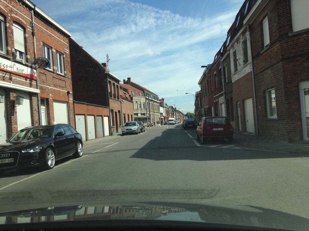
Photo by Gary Mawyer
No, not quite. However, it was not far to Armentières itself.
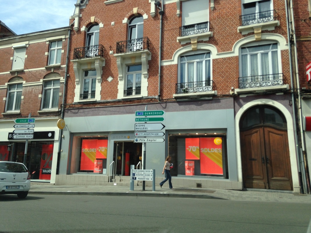
Armentières: A famous crossroads. Photo by Gary Mawyer.
Armentières is a bustling town of modest size through which armies have been retreating or advancing briskly since Julius Caesar divided all Gaul into three parts. Originally part of Flanders, Armentières and surrounding French-speaking territory became part of France as late as the 17th century, as the Wars of Religion finally burned themselves out.
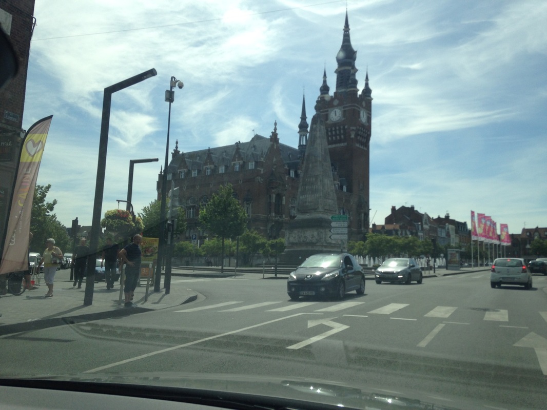
Armentières: the Grand Place. Photo by Gary Mawyer.
We headed for the open countryside of northern France, famous for its slag heaps—once a bitter terrain in 1915, where battles at Loos and Arras and Neuve Chapelle and Vimy Ridge set the tone of stalemate in the Great War.
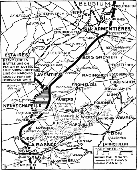
1915 New York Times map (Wikipedia).
This section of the Western Front in 1915 was the testing ground for the Anglo-French theory that sufficiently heavy attacks could, by sheer brute force, drive an opposing army of approximately equal strength out of heavily fortified trench works. This is, of course, a military truth. Ultimately nothing can be successfully defended if an attacking force is willing to pay the price, as history has ever shown. For Americans the best clue to the battle mentality of 1915 may be the island battles of the Pacific War - Tarawa, Peleliu, Iwo Jima and Okinawa - where the entire surface was fortified, there were no flanks, and all attacks were frontal.
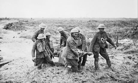
The 1915 battles, though largely unsuccessful for either side, seemed promising and led directly to what we call the Battle of the Somme. Participants referred to it as the Big Push, a term borrowed from the Battle of Loos, which had been the previous Big Push. The Big Push along the Somme began on July 1, 1916, and was officially declared over on November 18, 1916. Its goals, the recapture of the towns of Péronne and Bapaume, were not achieved, but the front was pushed six miles eastward, and the British and French generals and politicians regarded the Big Push as a victory. The British press and public also regarded it as a victory, although an increasingly terrifying one as the true casualty figures slowly trickled out. July 1, 1916, is often called the worst day in the history of the British army, with 60,000 troops killed, wounded or missing. The war would end before the story of that day became common knowledge.
Despite the usage of the iconic date of July 1, there was in fact no one “Battle of the Somme”. On the southern end of the Somme front, British and French troops, supported by technically superb French artillery, inflicted tremendous losses on the German army at little cost to themselves, and advanced through the first, second and third defensive lines to reach open country, where they could see German reservists in the distance desperately trying to dig a new trench line. On the northern end of the Somme front, the Big Push resulted in the slaughter of the attacking battalions and no gains at all. How the participants experienced it depended on where they were. Fresh attacks to lop off sections of German line were planned at once and the Big Push went grinding on for months, thirty yards here and a hundred yards there, almost all of it uphill, until winter and manpower exhaustion brought the thing to an end.
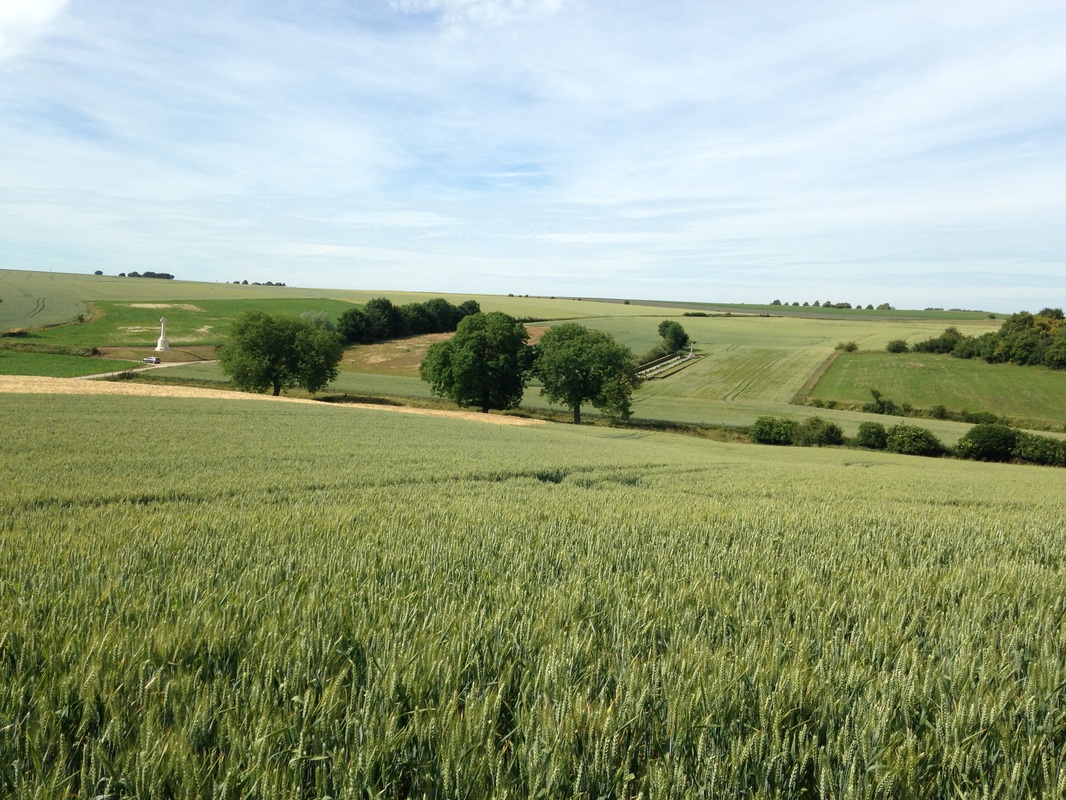
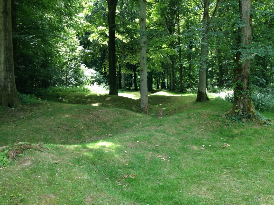
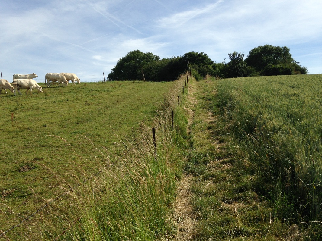
Classic Somme scenery: Hawthorn Ridge looking toward Beaumont Hamel. Photo by Gary Mawyer.
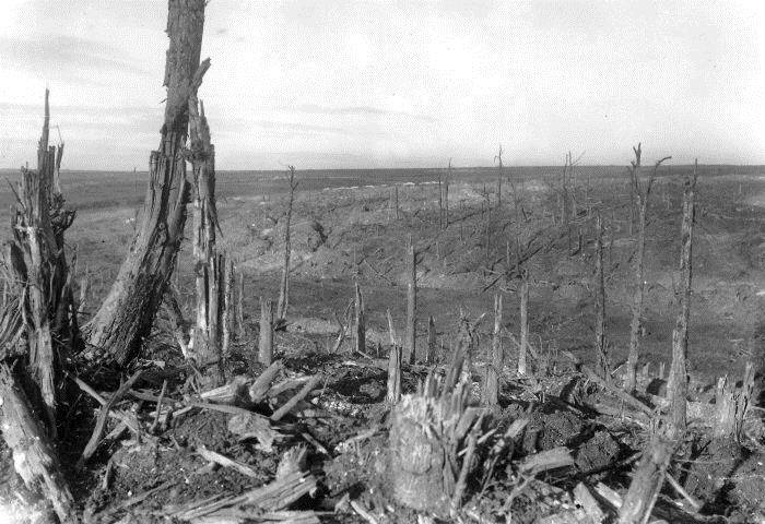
As it was in 1916. (Imperial War Museum)
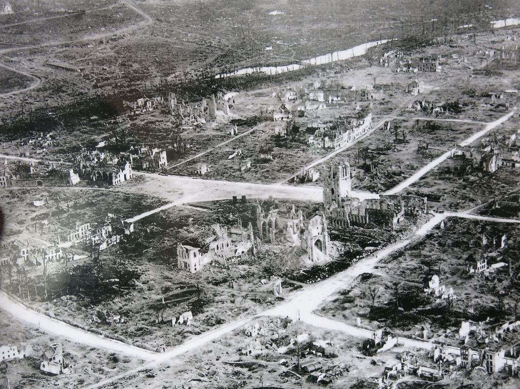
We came in through Bapaume and thus reached the site of the last stages of the battle first. On the whole, now that the trenches have mostly been filled in and the fortifications plowed over, we could see no special visual logic to the Somme battlefield. It’s a 15-by-8-mile oblong of chalk downs studded with woods, farms and creek bottoms associated with the Ancre and Somme rivers. The ground rises from west to east. The piecemeal capture of this terrain took months and over a million and a half casualties on both sides. Some of its landmarks are vantage points on higher ground, or sites of climactic events, while other landmarks are the scenes of particular disasters or happenstances, or became famous by anecdote or association. As a tourist, it would take at least three full days to work one’s way across the entire battlefield and have a look at all the famous locations.
See https://en.wikipedia.org/wiki/Battle_of_the_Somme
We turned off the Bapaume-Albert road, basically the axis of the British attack, to see High Wood and Delville Wood. These two woods were fought over for many weeks at the height of the battle and are legendary elements of the story. High Wood is fenced off and private but Delville Wood is a park, the land given in perpetuity by France to South Africa to recognize the South African soldiers who helped recapture it.
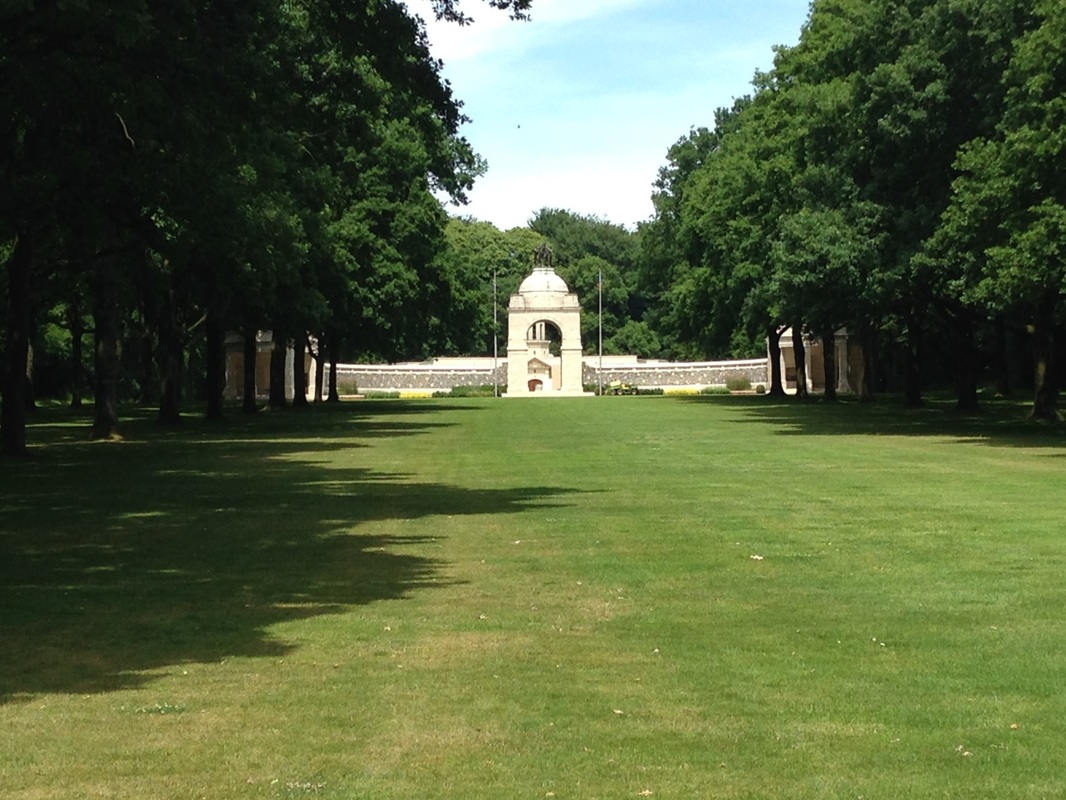
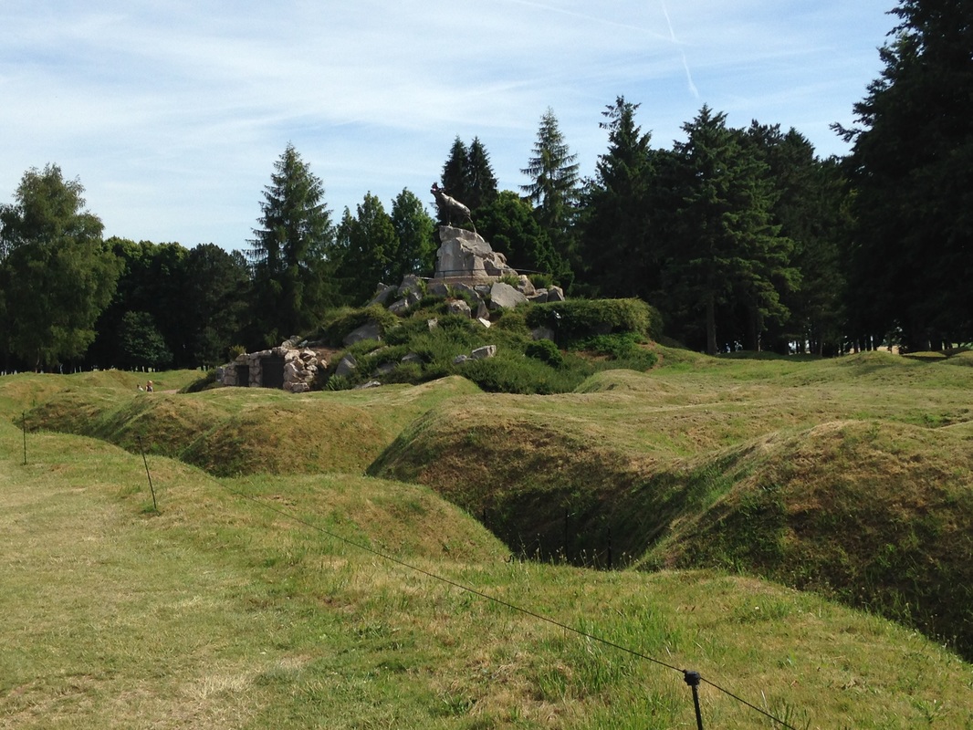
Delville Wood Memorial. Photo by Gary Mawyer.
In the battle, Delville and High Wood were so devastated by bombardment that few trees survived. However, Delville Wood does contain one tree that was not destroyed in 1916, called the Last Tree.
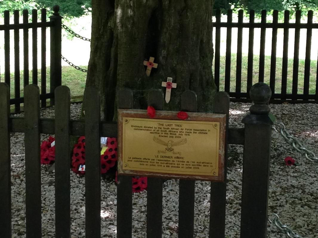
The Last Tree. Photo by Gary Mawyer.
The ground in Delville Wood is deeply rutted with old shell holes and former trenches.
Uneven surface of Delville Wood. Photo by Gary Mawyer.
It’s a lovely quiet spot. The other visitors were a party of three South Africans and a young British couple. A French family was also enjoying the shade at a picnic table in the parking area beyond the wood. We had plans to spend the night in Amiens and thus only a day, so we opted to head next to Thiepval Ridge and the Memorial to the Missing. If one considers the Albert-Bapaume Road the principal axis of the Big Push, Thiepval Ridge to the north was one of the principal obstacles and was quite slow to fall.
We mentioned to the South Africans that we were headed for Thiepval Ridge - a conversation inspired by the fact that one of them was my age and, like me, not willing to scramble over the park wall and thus obliged to go out the gate.
Rightly or wrongly, we were using the GPS in our rented Volkswagen. The South Africans in their rented Land Rover obviously decided to follow us, perhaps in the touching belief that as Americans we must already know everything. The GPS soon turned us off the main highway and onto a dirt farm lane in the vicinity of Mouquet Farm, partially blocked by farm equipment and by some French farmers vainly trying to wave us back.
I waved back too as Alex accelerated in a cloud of Somme chalk dust, the South African Land Rover right behind us. “This area is famous for the hundreds of tons of unexploded ordinance on it,” I said.
“There’s one now,” Alex said, pointing at a protective tractor tire surrounding a monstrously large artillery projectile. No doubt that was what the French farmers were on about, and the South Africans, we noticed, pulled over and stopped.
“I bet they’re trying to buy it,” I said.
I would have photographed it but Alex, with the survival instincts of a Great War ambulance driver, had the Volkswagen bounding across the ruts in a spray of gravel towards the GPS’s promise of a paved road. Perhaps the best thing.
The Thiepval memorial was roped off from visitors, shielded in scaffolding and undergoing a good cleanup in anticipation of next year’s Somme centennial. A groundskeeper on a lawn tractor was methodically towing a ground-penetrating radar set back and forth across the parking lot, searching for any leftover unexploded shells that might still be buried there. His face was serious and he was paying the most studious attention to his equipment, which made me wonder if someone with a magnetometer had perhaps come through and gotten a nasty shock.
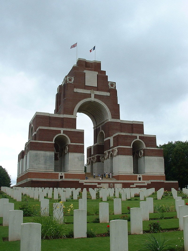
Like the Menin Gate, the Thiepval Memorial to the Missing is a cyclopean brick-and-marble portal to the next world, bearing the names of 72,195 missing British and Commonwealth soldiers with no known grave, sometimes referred to as “the Missing of the Somme.”
See http://www.amazon.com/The-Missing-Somme-Geoff-Dyer/dp/0307742970
We mentioned to the South Africans that we were headed for Thiepval Ridge - a conversation inspired by the fact that one of them was my age and, like me, not willing to scramble over the park wall and thus obliged to go out the gate.
Rightly or wrongly, we were using the GPS in our rented Volkswagen. The South Africans in their rented Land Rover obviously decided to follow us, perhaps in the touching belief that as Americans we must already know everything. The GPS soon turned us off the main highway and onto a dirt farm lane in the vicinity of Mouquet Farm, partially blocked by farm equipment and by some French farmers vainly trying to wave us back.
I waved back too as Alex accelerated in a cloud of Somme chalk dust, the South African Land Rover right behind us. “This area is famous for the hundreds of tons of unexploded ordinance on it,” I said.
“There’s one now,” Alex said, pointing at a protective tractor tire surrounding a monstrously large artillery projectile. No doubt that was what the French farmers were on about, and the South Africans, we noticed, pulled over and stopped.
“I bet they’re trying to buy it,” I said.
I would have photographed it but Alex, with the survival instincts of a Great War ambulance driver, had the Volkswagen bounding across the ruts in a spray of gravel towards the GPS’s promise of a paved road. Perhaps the best thing.
The Thiepval memorial was roped off from visitors, shielded in scaffolding and undergoing a good cleanup in anticipation of next year’s Somme centennial. A groundskeeper on a lawn tractor was methodically towing a ground-penetrating radar set back and forth across the parking lot, searching for any leftover unexploded shells that might still be buried there. His face was serious and he was paying the most studious attention to his equipment, which made me wonder if someone with a magnetometer had perhaps come through and gotten a nasty shock.
Like the Menin Gate, the Thiepval Memorial to the Missing is a cyclopean brick-and-marble portal to the next world, bearing the names of 72,195 missing British and Commonwealth soldiers with no known grave, sometimes referred to as “the Missing of the Somme.”
See http://www.amazon.com/The-Missing-Somme-Geoff-Dyer/dp/0307742970
Thiepval Memorial (Wikipedia)
See https://en.wikipedia.org/wiki/Thiepval_Memorial
See https://en.wikipedia.org/wiki/Thiepval_Memorial
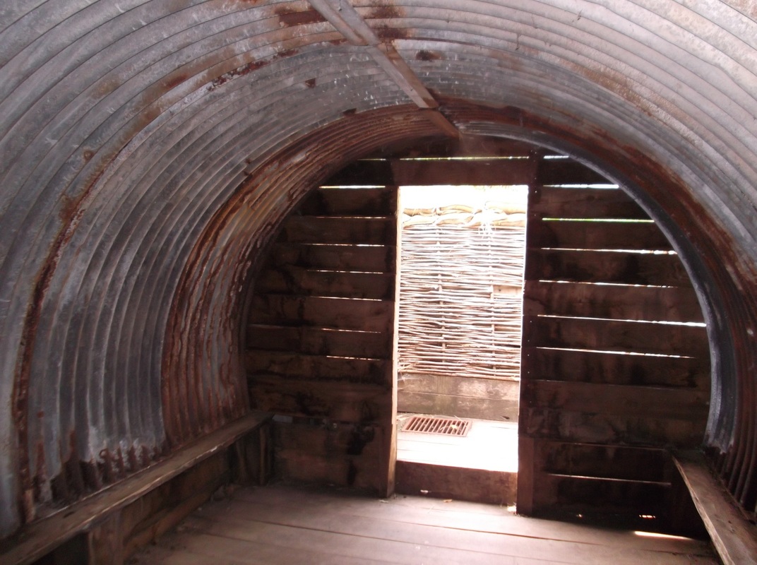
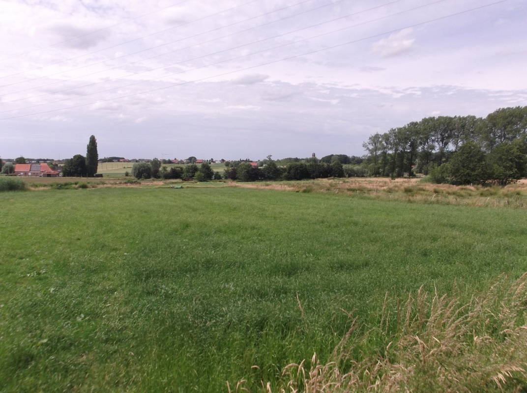
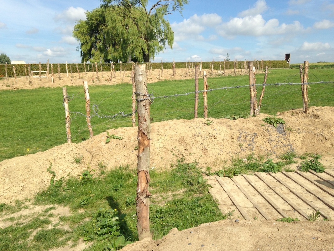
From there we pushed on north along the Thiepval Ridge to Thiepval Wood. One of our main interests in going to the Somme was to visit the section of the battlefield where J.R.R. Tolkien served as battalion signals officer of the 11th Lancashire Fusiliers. Tolkien, age 24, arrived at the Somme on July 14, 1916, two weeks after the Big Push began, and stayed until the end of October, two weeks before the battle ended. His battalion was first thrown into the fight at Ovillers, near the Albert Road, with astonishing casualties, and then sent into Thiepval Wood opposite the formidable Schwaben Redoubt. The Schwaben Redoubt had been one of the first day objectives on July 1, and the first attack scarcely got out of the edge of Thiepval Wood before it was massacred. The dead from that attack and several attacks since then were still littering No Man’s Land uphill from the British trenches when Tolkien arrived.
In front of Thiepval Wood. Photo by Gary Mawyer.
The wood itself was also gone by then. Thiepval Wood was scoured earth torn by ditches and bunkers housing thousands of British troops, from which at irregular intervals new waves of attacks were sent forth to leave new scatterings of casualties and corpses across the foreground. The top of the ridge in the photo above was unreachable when Tolkien was there. Weeks turned to months. When the Schawben Redoubt finally fell, there was little left of the 11th Lancashire Fusiliers.
At the end of October, Ronald Tolkien contracted potentially lethal trench fever and was evacuated to England. He spent months in hospital and most of the rest of the war recuperating. In 1917 he wrote the first of his great literary passages, The Fall of Gondolin. By then his old company had achieved annihilation, its last handful of soldiers joining the rest of the missing.
See http://www.amazon.com/Tolkien-Great-War-Threshold-Middle-earth/dp/0618574816/ref=sr_1_1?s=books&ie=UTF8&qid=1440014543&sr=1-1&keywords=tolkien+and+the+great+war
The influence of the Great War on The Lord of the Rings and The Silmarillion can hardly be missed. The area in front of Thiepval Wood was the original Mordor, close to the German word for murder, “mord.”
And yet everything passes, and this is the face of the original Mordor today:
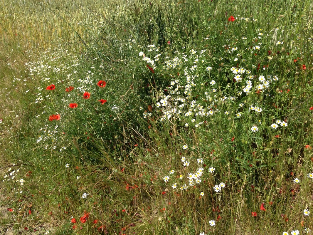
Poppies on Thiepval Ridge. Photo by Gary Mawyer.
Today it is easy to walk to the top of the ridge and see what must have been a machine-gunner’s dream, looking back toward the edge of Thiepval Wood.

Alex on a walk into Mordor. Photo by Gary Mawyer.
Of course the Germans were being murdered on just as liberal a scale. The embarrassment of their situation, as an uninvited foreign army in somebody else’s country, sometimes obscures the reality that the Allemande had a cause too—the German imperial cause. Of course the German soldiers of the Great War were as patriotic as the other soldiers, but there was more to their desperate plight than patriotism. Barely half a century earlier, within living human memory, Germany had been a region of small, poor, politically weak principalities rather than a modern state. Since then Germany had unified and rapidly developed into an industrial giant, a nation of great wealth and power, opened up a world trade, embarked upon the adventure of overseas colonization, and declared itself an empire and the foremost military power on the European continent.
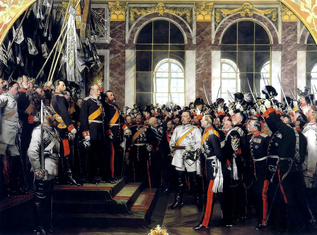
All those things had been gambled away in the 1914 invasion of Belgium and France and concomitant war with Russia. By 1916 Germany’s colonies were gone. German world trade was gone. Access to raw materials for industry was gone. The emperor, the army and the government rightly feared that if Germany sued for peace, the German people would rise up in disgust and throw the monarchy and all those who depended on it out of power. Before the war, the largest political party in Germany, the Social Democratic Party, was anti-monarchical, parliamentarian, and inclined to Marxism. Only war fever stood between the Kaiser’s government and collapse, and the last card in the Kaiser’s hand was the possession of most of Belgium and a large part of northern France, hostages for some yet-unimagined potential outcome that would not spell the end of the Imperial Reich.
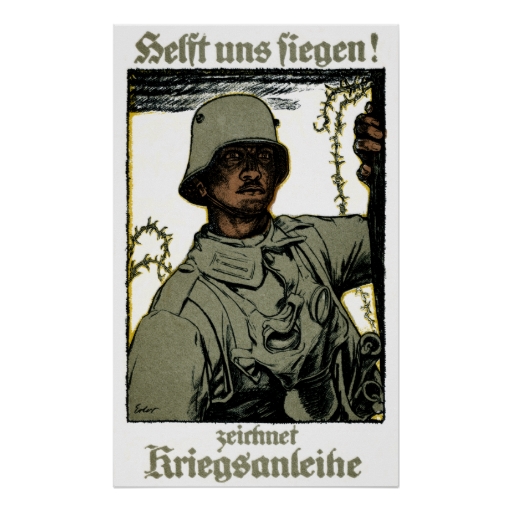
German War Bond poster (Wikipedia).
In common with other Lost Causes buried in the ruins of history, it can be hard to imagine what the principle of Empire meant at the beginning of the last century. One way to reconceptualize the Imperial concept is to consider the nature of the armies that faced each other at the Somme. The British army, supported by tens of thousands of Chinese organized into labor battalions for engineering purposes, drew its manpower from the farthest reaches of the world: Canadians, Australians, New Zealanders and South Africans, shock troops of the Empire; insanely valorous soldiers from India like the famous Deccan Horse who charged High Wood with pennons fluttering, to be cut to pieces by machine gun fire; Gurkhas famous for their trench raiding skills; Fijians and Maoris, men of legendary strength, manning the big guns; alongside the French, the Algerians, the Senegalese, the Annamese… this is what “empire” meant, a world in arms. This kind of world domination, which seemed to have come so naturally to Great Britain, had long been the well-stated goal of the Kaiser’s Reich, and the Somme was now part of the price for not having succeeded.
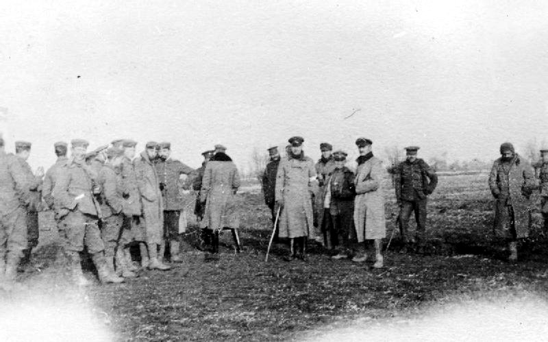
The Hawthorn Ridge mine crater was one example of the horrors the Germans faced. British engineers set off 8 large and 11 small mines under sections of the German line on the first day of the Somme. The Hawthorn Ridge explosion remains to this day one of the largest conventional explosions ever managed. Those on top of it never knew, but those around it were alerted at once that the impending attack would be on a huge scale.
The Hawthorn Ridge mine crater was one example of the horrors the Germans faced. British engineers set off 8 large and 11 small mines under sections of the German line on the first day of the Somme. The Hawthorn Ridge explosion remains to this day one of the largest conventional explosions ever managed. Those on top of it never knew, but those around it were alerted at once that the impending attack would be on a huge scale.
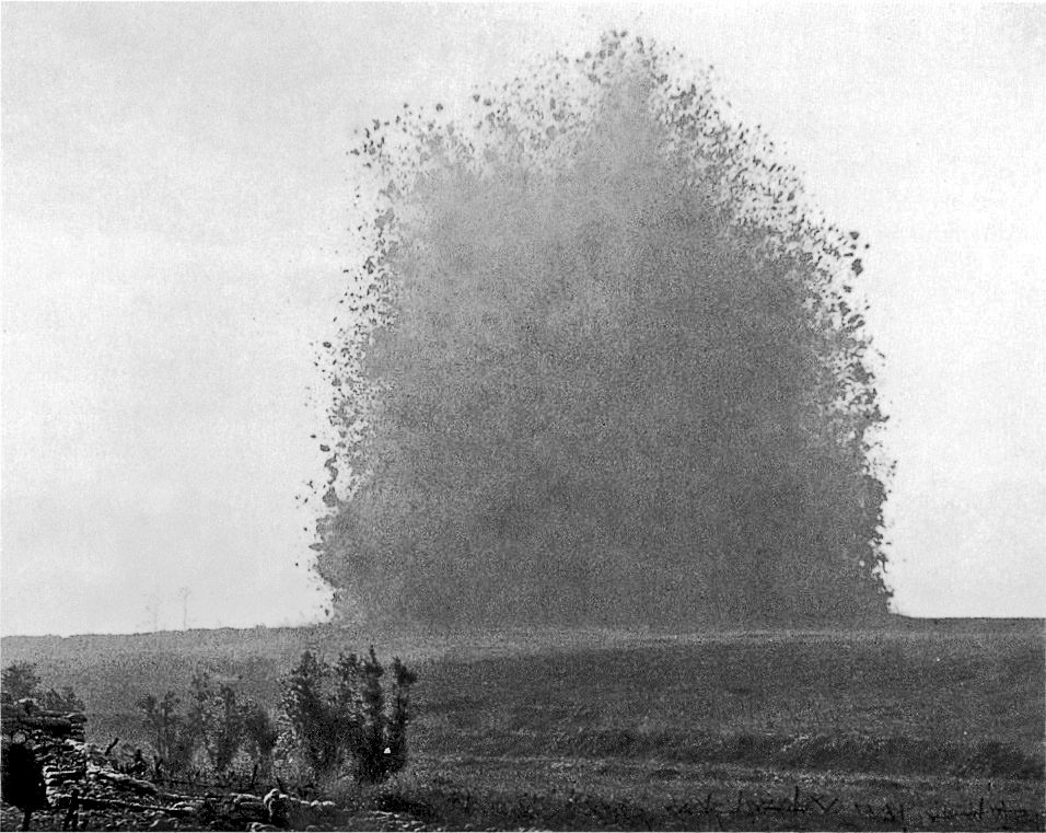
The explosion of the mine under Hawthorn Ridge Redoubt I, 1 July 1916.
(Photo by Ernest Brooks) Imperial War Museum.
(Photo by Ernest Brooks) Imperial War Museum.
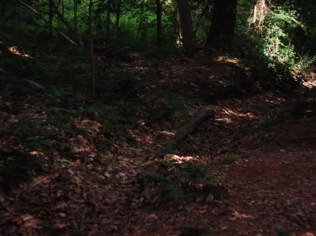
A century later, the crater remains - still huge, and requiring a scramble to get into.
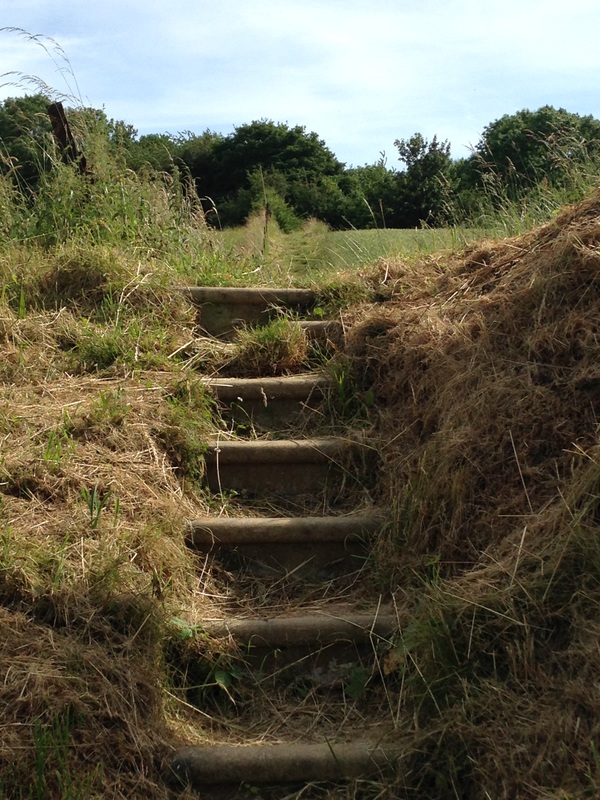
Steps to Hawthorn Ridge. Photo by Gary Mawyer.
Crater at top of rise, shrouded in trees. Photo by Gary Mawyer.
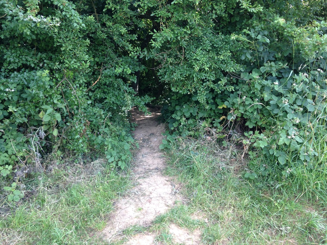
Into the crater. Photo by Gary Mawyer.
The July 1 attack on the newly blown Hawthorn Ridge crater was a failure. The goal was to swarm past the crater into Beaumont-Hamel. Few of the British and Commonwealth soldiers even reached the German wire. One of the most poignant monuments on the Somme is the Newfoundland Memorial, with its bronze caribou. The original trenches and shellholes have been left to nature in this park. The Newfoundland Regiment, part of the second wave, got about halfway across No Man’s Land, suffering 90% casualties. Months would pass before Beaumont Hamel was finally captured. By then it was just a smear of brick dust, part of the landscape of Mordor.
Newfoundland Memorial. Photo by Gary Mawyer.
Our plans were to spend the night in Amiens, so we put the Somme behind us and drove on through Albert. The enormous battlefields of Picardy behind us seemed as peaceful and charmingly pretty as a landscape could possibly be. Is it really only our imagination that furnishes the farmland of the Somme with ghosts?
In the next blog post we will turn our attention from the Great War to the great cathedrals, and from battlefields to champagne fields, before circling back to sites of conflict.
In the next blog post we will turn our attention from the Great War to the great cathedrals, and from battlefields to champagne fields, before circling back to sites of conflict.

 RSS Feed